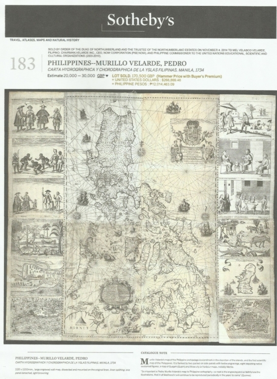
Looking at the almost 300- year-old Philippine map by Fr. Pedro Murillo Velarde which businessman Mel Velarde acquired for P12 million in an auction in London last year, one can see that the Jesuit priest is a great storyteller.

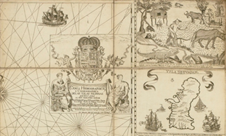
The 1734 Murillo Velarde map shows more than just locations. It has two panels on both sides engraved with images depicting lifestyles and special features of places. One panel shows a farmer plowing the field not far from a river with crocodiles. It’s noted that in Zamboanga, there’s “Pozo de Agua Dulce.” In general it showed Filipinos enjoying a highly civilized society.
But the most significant feature of the Murillo Velarde map is a tiny spot off the shores of Nueva Castilla, which was then the name of Luzon labeled “Panacot.”
