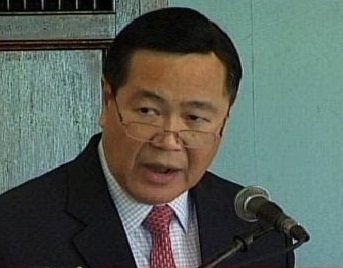
In a lecture at De La Salle University “Historical Facts, Historical Lies and Historical Rights in the West Philippine Sea”, Carpio took up China’s invitation to look at the “historical facts” by examining not only Chinese ancient maps but also maps of Philippine authorities and other nationalities.
Carpio said “All these ancient maps show that since the first Chinese maps appeared,the southern most territory of China has always been Hainan Island, with its ancient names being Zhuya, then Qiongya, and thereafter Qiongzhou. ““Hainan Island was for centuries a part of Guangdong Province until 1988 when it became a separate province,” he added.


